
Walk a Tuscaloosa County Street
A reliable street directory search moves from the physical place to named records. Start with one standardized address, but keep the full street name, directional, suffix, and unit when one exists. The assessor can connect that site to a parcel and current tax owner. GIS then lets the search move by street from one parcel polygon to the next. Neither source proves who sleeps at an address. They establish the land and the person or entity on the tax roll, which is the sound base for the next checks.
- Verify the address and locate its parcel in the Tuscaloosa County assessor or GIS source. Record the parcel identifier, situs, mailing address, and tax year.
- Pan along the road in GIS. Open each parcel separately instead of treating one result as a roll of the whole block.
- Confirm each mapped label against the assessor record. A map label can lag a recorded deed.
- Use the assessed owner to find the acquisition deed. Hold the legal description steady while following prior grantors and grantees.
- Add lawful voter-file evidence or a dated criss-cross directory only when the research goal needs signs of occupancy.
This order keeps ownership, registration, and directory listings from being blurred into one claim. The by-street record becomes a dated evidence set, not a guess about a household.
Tuscaloosa Street Parcel Keys
The Tuscaloosa County Tax Assessor appraisal source publishes annual valuation lists that can stand in when a live portal is hard to use. The 2026 real-property lists are split by owner-letter groups and parcel-number groups. A by-street search therefore works best after GIS supplies the parcel key. The listed values were estimates as of May 1, 2026 and were subject to change, so preserve the list year with any citation.
| Record key | How it helps by address | Important limit |
|---|---|---|
| Owner name | Locates an assessed party in the alphabetic valuation list | Ownership is not proof of occupancy |
| Parcel identifier | Connects the map, tax record, and recorded description | One dwelling may involve more than one parcel |
| Situs address | Names the physical taxable site | May differ from postal wording |
| Mailing address | Shows where tax contact is sent | May belong to an estate, agent, or entity |
| Class or exemption | Adds tax treatment for the stated year | Does not identify every person at the site |
The county's current valuation page can be seen in the captured assessor view below.
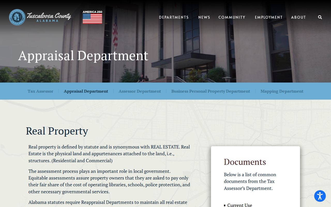
The grouped owner and parcel lists show why a parcel number is often the fastest bridge from a mapped street to a tax entry.
Map Tuscaloosa Streets in GIS
The county Mapping Department links the Tuscaloosa GIS and explains how ownership maps are built. Staff use deeds, subdivision plats, wills, assessments, and surveys under state revenue specifications. In the viewer, find the target, zoom until parcel shapes are clear, select the parcel, and then open the shapes beside it and across the road. Use only layers the live viewer supplies. Road and municipal boundaries can help show whether a postal Tuscaloosa address lies in the city or in unincorporated county land.
The official GIS entry and its limits appear in this Tuscaloosa mapping source.
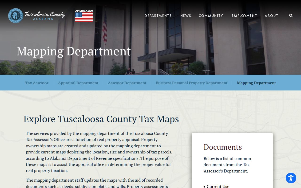
The notice matters: tax maps help locate ownership parcels, but they are not surveys and cannot transfer title. That is a useful Tuscaloosa County quirk. A by-address search should use the map as an index, then verify title in Probate records.
Condominiums and multi-parcel tracts need extra care. Polygon edges may describe tax units or common land rather than each dwelling door. Record what the map actually labels and avoid turning geometry into a list of households.
Note: A Tuscaloosa postal city and a Tuscaloosa municipal boundary are different facts, so check parcel jurisdiction before requesting city files.
Tuscaloosa Records Indexed by Address
No single Tuscaloosa County record is a full street directory. The best source depends on whether the question concerns land, title, a registered voter, a building project, or a past listing. Parcel and map records are the broadest current address tools. Deeds are indexed chiefly by people and legal descriptions. Voter access follows a separate state process. City files may be searched by exact address when a department created a permit, fire, planning, or code record.
| Tuscaloosa source | Street reach | What it can establish | Access route |
|---|---|---|---|
| Assessor and valuation lists | Owner or parcel browse | Tax owner, situs, mailing, value, class | Online source or Room 108 |
| Mapping Department GIS | Parcel-by-parcel map browse | Parcel geometry and adjacent taxable land | Online map or mapping counter |
| Probate recorded instruments | Party and legal-description chain | Grantor, grantee, date, book/page or instrument | Linked search, Room 121, phone, or email |
| State voter file | Possible street sort if supplied | Allowed registered-voter fields | Statutory purchase process |
| City address files | Exact address and date request | Applicant, contractor, work, or incident data | Department or web records request |
| Historical directory | Street or reverse section when present | Listed occupant or business in one edition | Library or Alabama Archives |
The parcel identifier joins the modern land sources. The legal description carries the chain across a renamed road or changed number. A person's name then opens the deed index, while the exact address and date range narrow a municipal request.
Tuscaloosa Street Deed Chains
Tuscaloosa County Probate Records & Recording holds deeds, mortgages, releases, liens, and plats. Begin with the assessed owner and locate that party's acquisition deed. Copy the grantor, grantee, recording date, instrument or book and page, and full legal description. Then search the seller as a prior grantee. Repeat only while the description identifies the same land. Street wording alone is too weak because recorded instruments are organized around parties and title descriptions.
The deed-to-tax sequence is explained by the Assessor Department's ownership workflow.
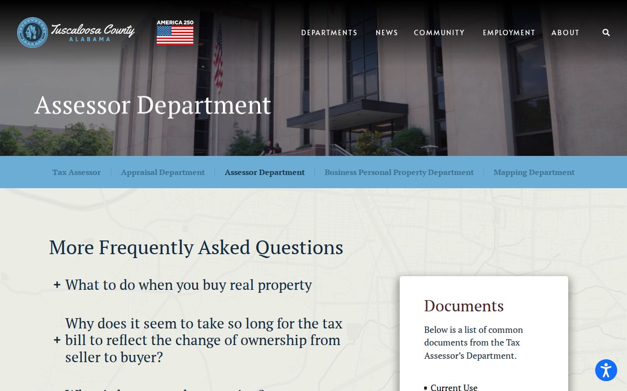
The workflow shows why a recent closing may appear in Probate before the tax roll or map has caught up. For older work, the recording desk at 205-464-8206 and the courthouse counter are essential. The county does not publish a verified online cutoff year, so do not assign one. Requests can also go to recordingrequest@tuscco.com or copyrequest@tuscco.com with a specific instrument or book-page reference.
Tuscaloosa Street Record Terms
Four terms prevent most address mistakes in the Tuscaloosa County street directory. Each describes a different way that a place is represented.
- Parcel
- A tax and map unit identified by the assessor. It may not match one household or one postal address.
- Situs address
- The physical location assigned to taxable property, as distinct from the address used for owner mail.
- Plat
- A recorded drawing that identifies a subdivision, lots, blocks, roads, and other surveyed features.
- Criss-cross directory
- A dated directory arranged by street and number so a listed occupant or business can be found from an address.
For continuity, the parcel and legal description carry more weight than a ZIP, postal city, or street spelling. USPS delivery geography can cross city and county-service lines. A new mailing ZIP does not change the title description.
Tuscaloosa Voters Are Not Browsable
Alabama's My Voter Page verifies one voter with first name, last name, and date of birth. It is not a browse-by-street tool. A lawfully obtained statewide voter file may permit sorting by residence street if the allowed fields include it, but access runs through the Secretary of State purchase process under Ala. Code §17-4-38. That file covers registered voters, not every resident at an address.
Alabama also does not register voters by party. A by-street record must never invent party enrollment from a registration entry or voting history. Ballot choices are secret, and protected addresses or sensitive identifiers remain withheld. Tuscaloosa County registration questions route to the Board of Registrars and county elections staff rather than repeated attempts to probe the individual lookup.
Note: A registration address is dated voter evidence, not proof of every household member or of a person's presence today.
Tuscaloosa Address Request Evidence
The City of Tuscaloosa public-record request is a fallback for address-keyed administrative, fire, planning, and related departmental records that are not already online. Give the standardized address, parcel identifier, type of record, and a narrow date range. Northport and other municipalities may hold their own permit or code files, while the county still controls deeds and tax parcels.
A permit can name an applicant, contractor, owner, or responsible party and can help date work at a building. It does not prove that any named person lived there. Fire and incident files have their own access limits. Tie every name to its role instead of importing it into the resident roll. This distinction is vital on streets with student-oriented multiunit property, absentee ownership, or institutional parcels near the University of Alabama.
Tuscaloosa Historical Street Directory
For an older address, ask the Tuscaloosa Public Library Archives whether a surviving volume has a street or reverse section. The library holds Tuscaloosa and Northport city and telephone directories, but its public inventory does not state every year or which editions are criss-cross. Alabama Archives verifies Tuscaloosa microfilm for 1913 through 1932 and selected print editions through countywide titles ending in 2003. Gaps must remain gaps.
A directory entry is evidence for its publication year, not an exact move date. Pair it with a public federal census through 1950, a deed, or a newspaper notice. The full shelf and edition history belongs in the Tuscaloosa County city directory treatment. On a street search, the key task is narrower: find the address section, record the spelling and year, and preserve any cross-reference. The library's genealogy staff can help locate the right volume after visitors sign in at the second-floor Reference Desk.
Tuscaloosa Street Names Can Shift
Postal city, municipal jurisdiction, road name, and street number can change on separate tracks. Tuscaloosa County research found no official countywide renumbering chronology, so an old and new number should not be linked by guesswork. Bridge the change with a parcel identifier, the deed's legal description, a recorded plat, an annexation record, and dated directory cross-references. The county's Public Land Survey System mapping can also help with rural descriptions that never began as modern street addresses.
Old records may use place names such as Kellerman, Yolande, Holt, or Abernant rather than a present postal city. County geography also includes Northport, Brookwood, Coaling, Coker, Vance, Moundville-area routes, and broad rural land. Search the name that the source used in its own year. Then prove that it points to the same parcel before merging the entries.
Limits of Tuscaloosa Street Records
A tax owner is not always a resident. A different mailing address may point to an absentee owner, estate, entity, or billing agent, yet it still says nothing about unnamed occupants. Homestead treatment can support owner occupancy for a tax year, but timing and later changes matter. Permit names prove a role in a project. Directory omissions do not prove vacancy. Utility, delivery, and motor-vehicle customer lists are not a public street directory.
Protected voters and participants in Alabama's Address Confidentiality Program may use suppressed or substitute information. Minors and unlisted household members stay outside the parcel method. When a search shifts from the whole street to the identity of one named person, the Tuscaloosa County resident lookup process applies a different two-source test.
Lawful use. Tuscaloosa County address records support family history, property research, civic questions, and scam checks. Never use them to stalk, harass, threaten, or expose a protected address.