
Tuscaloosa Neighbor Record Sources
The official block method is a map browse, not a radius people search. Start with one Tuscaloosa County address, locate its parcel, then inspect the parcels on both sides and across the road. The map supplies geometry and parcel references. The assessor confirms the recorded taxpayer. A plat explains the legal lot pattern, while a historical directory can show listed occupants in a particular publication year. Voter and association sources are narrower than they first appear.
| Source | What It Shows About a Block | Access |
|---|---|---|
| County GIS and Assessor | Adjacent taxable parcels, owners, situs and mailing fields | Free map, lists, and counter |
| Recorded plats | Subdivision, lot, block, and road pattern | Probate recorded plat |
| State voter file | Allowed registered-voter fields, if lawfully obtained | Secretary of State process |
| Neighborhood group | Published boundary, officer contact, or civic events | City, group, or public entity filing |
| Historical directory | Listed occupants by street in one edition | Library or Alabama Archives |
Recorded ownership and current occupancy are different facts. A matching situs and mailing address, plus a homestead class for the same tax year, may support owner occupancy. It still does not name all people in the household. A different mailing address can point to an absentee owner, estate, company, or billing agent. Renters, minors, and other household members generally fall outside the parcel method. Treat people on the block as people, not as extensions of a tax card.
Check Tuscaloosa Map Labels
Tuscaloosa County's Mapping Department builds ownership maps from deeds, subdivision plats, wills, assessments, and surveys under state specifications. That sounds authoritative, but the county expressly says tax maps are not conveyance documents. They can lag a recent deed, and their lines cannot replace a survey or legal description. This is a useful local quirk: a rich-looking map is still an index to further records.
Write down the parcel ID from the selected polygon, then open the assessor record for that exact parcel. Compare owner, situs, mailing address, and legal description. If a boundary or owner matters, move to the recorded deed and plat. Condominium units and large multi-parcel tracts need extra care because the visible polygon may not match a single dwelling. Dense city blocks and rural tracts therefore require different map scales, but the same verification rule.
Note: The research did not verify live GIS toolbar names, buffer tools, or export limits, so use only controls visible in the current viewer.
Tuscaloosa Neighborhood Contact Layer
Community sources add civic context, not a household roll. City neighborhood and planning material may publish a boundary, an officer contact, or a meeting notice. An HOA is a private corporation, and its public Secretary of State filing may name an agent or officer. That filing does not make the membership list public. Chamber, congregation, school, and alumni directories likewise identify public or institutional ties under their own access rules.
City Neighborhood Route
Use a verified city boundary, public contact, or civic event. Do not infer a full resident roster.
State Entity Filing
Check an HOA's entity status, agent, or filed address. Do not infer each member or occupant.
Community Organization
Use a congregation or civic group's public office contact. Private membership stays private.
Library History Desk
Consult past directories, yearbooks, and community sources. None proves current residency.
The Alabama Secretary of State records-request page is the assigned source image for the formal state records channel.
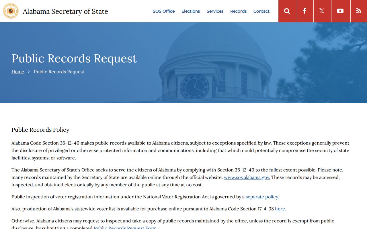
The page helps route a defined request or voter-file inquiry. It does not supply a Tuscaloosa County neighborhood membership directory.
Tuscaloosa Neighbor Voter Limits
My Voter Page cannot browse a Tuscaloosa County street or block. The official tool requires a voter's first name, last name, and date of birth to return individual registration and polling information. A bulk voter list is a separate product governed by Ala. Code §17-4-38 and Secretary of State purchase terms. Protected fields and permitted uses still control.
| My Voter Page Field | Type | Required | Purpose |
|---|---|---|---|
| First Name | Text | Yes | Voter identity input |
| Last Name | Text | Yes | Use the registration name |
| Date of Birth | Date | Yes | Identity check, not a displayed public field |
| Search / Submit | Button | No | Returns a match or no match |
Even a lawfully obtained voter file is not a residents list. It omits nonvoters and cannot reveal ballot choice. Alabama does not register voters by party, so it cannot establish a neighbor's party affiliation. Utility, delivery, and customer records should not be presumed public. For a block question, rely on parcel ownership for land facts and use the voter system only for the narrow result it is designed to return.
Map Tuscaloosa County Neighbors
The parcel walk keeps the search close to one address. It also makes each inference visible. Start with a complete address in the county GIS linked by the Tuscaloosa County Mapping Department. Once the target parcel appears, work outward one polygon at a time. The process flow is simple: address to parcel ID, parcel ID to assessor owner, owner to deed or plat when needed.
- Locate the target address in the county GIS and record its parcel identifier before clicking away.
- Select parcels on each side and across the road. Note each parcel ID and the owner label shown.
- Confirm every parcel in the assessor record. Compare situs, mailing address, legal description, and tax-year class or exemption.
- Open the recorded plat or deed when parcel shape, subdivision pattern, or a recent ownership change is important.
This produces a small, sourced block worksheet. It does not produce a list of occupants. When the question expands beyond the immediate parcels, the Tuscaloosa County Streets page carries the full named-street record chain.
Tuscaloosa Multiunit Neighbor Traps
A single parcel can contain many dwellings. Student-oriented complexes near the University of Alabama, apartment sites, condominium regimes, and institutional tracts make one polygon especially weak evidence about nearby households. A mailing address may lead to a management office. An entity name may own the land. Neither fact names the people inside each unit.
Condominiums may have unit parcels plus common-area parcels. Large rural holdings can surround smaller tracts without sharing the same access road. The Black Warrior River, Lake Tuscaloosa, and the county's broad north and west geography also break the neat visual idea of a city block. Use legal descriptions and recorded plats to understand adjacency. Never convert a parcel count into a household count.
Tuscaloosa Neighbor Source Comparison
Official sources are slower because each one answers a narrow question. That limit is a strength. Commercial neighbor tools merge public and licensed data, may lag corrections, and can conflate people with the same name. They are not authoritative and are not linked. For a Tuscaloosa County block, the assessor, probate office, Secretary of State, and library each preserve a traceable source and a correction route.
| Source Type | Best Use | Main Limit |
|---|---|---|
| Official parcel and deed records | Confirm land owner, parcel, and recorded title | Does not list all occupants |
| Published community source | Verify a boundary or public contact | Membership is often private |
| Historical directory | Read a block in a stated edition year | Not current and may omit people |
| Commercial compiled tool | Unverified lead only | May merge people or lag source corrections |
Correct an error with the custodian that created the record. A map issue belongs with Mapping or the Assessor, a deed issue with Probate, and a voter item with election officials.
Federal Records Are Not Neighbors
Two assigned sources for this page concern federal courts. They are not block directories. Tuscaloosa County lies within the Northern District of Alabama, and a PACER party search can connect a name to a federal case. Such a match says nothing by itself about who lives on a nearby parcel. Use these sources only when a known case is part of a lawful, separate verification task.
The official PACER access page explains the federal docket system.
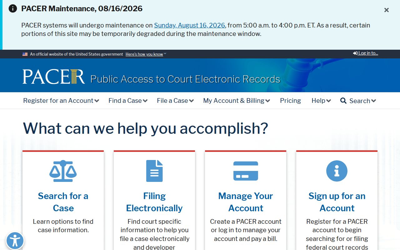
This entry point is for federal case records, not a way to browse a Tuscaloosa County block or its parcels.
The Northern District of Alabama website identifies the federal court serving the region.
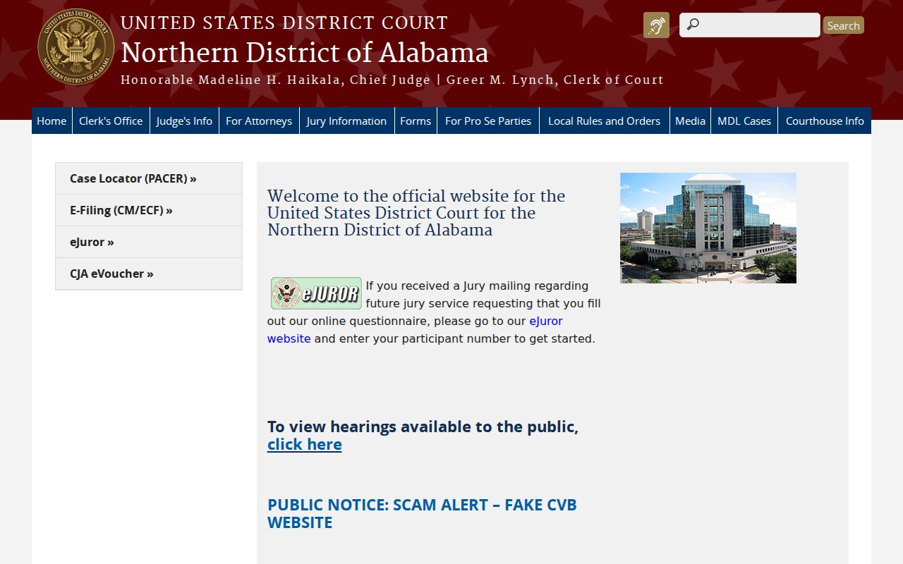
The district site provides court information and public services, while neighborhood ownership remains a county GIS, assessor, and probate question.
Tuscaloosa Neighbors Through Time
A current parcel map can be paired with a historical street or criss-cross directory, if the chosen volume has that section. Tuscaloosa Public Library holds city and telephone directories for Tuscaloosa and Northport. The Alabama Archives has verified Tuscaloosa directory holdings beginning in 1913, with gaps, followed by Tuscaloosa and Northport titles and later county directories. Record the exact edition year. A missing name does not prove a vacant home.
Old street labels and postal communities can complicate the match. The library's place-name volume covers historic post offices and towns in Tuscaloosa and Greene Counties. Use a plat, legal description, census, or newspaper item to bridge a renamed road or vanished community label. Historical directories show a published snapshot of listed occupants, not an exact move date and not a present neighbor list.
Note: Tuscaloosa directory years are selected holdings, not a continuous annual run, so gaps must remain visible in any block timeline.
Tuscaloosa Neighbor Privacy Limits
Renters, minors, household members, protected voters, utility accounts, and delivery data remain outside the public parcel method. Alabama's Address Confidentiality Program gives eligible victims a substitute address for certain government contacts. An actual protected address should never be reconstructed from other clues. Courts, vital records, and voter data also apply their own confidentiality and redaction rules.
Respect property boundaries and no-trespassing notices. A public owner name does not invite contact or close observation. If a record appears wrong, send the parcel number or record identifier to the proper custodian. Do not circulate a screenshot with personal data while seeking a fix. Good block research ends when the official source ends.
Lawful use. Tuscaloosa County neighbor lookups may support civic curiosity, reconnecting, or personal safety. Alabama law can punish stalking, threats, harassment, and intimidation.